

TOP 25 maps cover areas of particular tourist interest. The maps have an overprint highlighting local footpaths, long-distance GR routes and, where appropriate, ski routes. Other tourist information includes campsites, equestrian or canoeing centres, huts, mountain refuges, etc. Map legend is in French and English. Each TOP 25 map covers an area of approximately 28 x 21 km (17 x 13 miles). The TOP 25 map series is printed with contour interval of 5 metres, except for mountainous areas, where the maps have hill shading and contours at 10-metre intervals.
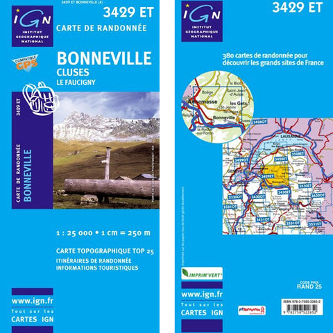
Map 3429ET covers the following areas. Cluses, Bonneville, Marignier, Saint-Pierre-en-Faucigny, Thyez, Viuz-en-Sallaz Taninges Jeoire St., St. Cergues Fillinges, Good, Mieussy, Ayse , Amancy, Boëge, Contamine-sur-Arve, Lucinges, Arenthon, Vougy, Bellevaux, Peillonnex, La Tour, Châtillon-sur-Cluses, Cornier, Bogève, Scientrier, Habère-Lullin Copponex Villard, Ville-en-Sallaz Saint-Sigismond, Burdignin, Saint-André-de-Boëge, and Mégevette Faucigny.
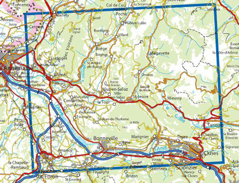
Pictures may not be the actual maps and are just for illustration.
- Map Dimensions131 x 92cm aprox
Please note that while we make every effort to ensure our 'available to sell' stock levels are accurate, errors do occur. If you're planning a special trip to our Leamington store, please contact us first to double-check availability. All prices include VAT at 20%. Orders shipped outside the UK will have the VAT removed at checkout.